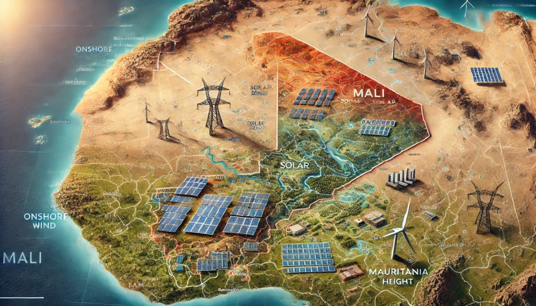
The International Renewable Energy Agency (IRENA) has conducted a thorough zoning assessment to identify the most promising regions in Mali for the development of utility-scale solar photovoltaic (PV) and onshore wind projects. This assessment serves to inform potential investors, policymakers, and developers on optimal locations, considering both technical feasibility and economic viability. The results are crucial for Mali’s renewable energy future, particularly as it looks to enhance its electricity supply and contribute to global climate mitigation efforts.
1. Introduction
This zoning assessment was commissioned by the government of Mali to support the development of utility-scale solar PV and onshore wind projects. The study builds on earlier IRENA initiatives, including the Renewable Energy Readiness Assessment (RRA) in 2019, and is designed to help local authorities in generation and transmission planning. By mapping renewable energy potential across the country, the study offers insights into the best zones for future projects, significantly reducing the risks associated with renewable energy investments and ensuring long-term energy sustainability.
The assessment also accounts for Mali’s socio-economic needs, aiming to promote cost-effective renewable energy while minimizing environmental and social impacts. Its primary goal is to identify areas with high renewable resource potential that are located near key infrastructure such as roads and transmission lines, making them highly attractive for investment.
2. Zoning Assessment Methodology
The methodology used in this zoning assessment consists of four key steps: defining assessment criteria, mapping the suitability index, clustering zones, and calculating techno-economic attributes to identify the most favourable zones. The criteria for the assessment are wide-ranging, including solar irradiance, wind speed, proximity to transmission and road networks, land use, and socio-environmental factors.
The assessment relies on global datasets, such as the World Bank’s Global Solar Atlas and the Global Wind Atlas, as well as national data on Mali’s transmission lines, road networks, and protected areas. Techno-economic factors such as capital and operational expenditures were also integrated into the analysis.
3. Solar and Wind Resource Data
Mali is characterized by strong solar potential, with global horizontal irradiance (GHI) ranging from 2,000 to 2,300 kWh/m² annually. In contrast, the country’s wind potential is less robust, with average wind speeds at 100 meters height reaching 6.7 m/s. These resource potentials, combined with additional criteria like land cover and population distribution, were used to develop a land suitability index for both solar and wind projects.
The analysis identified areas of the country that are highly feasible for solar PV and wind power installations, considering proximity to transmission lines and road networks, and factoring in land use constraints such as protected areas and high population densities.
4. Key Results and Zones for Investment
The study reveals that a significant portion of Mali’s land is suitable for solar PV development, covering 15,948 square kilometers (1.28% of the country’s total area), while onshore wind zones are limited to 346 square kilometers (0.03% of the total land area).
Solar PV Potential:
- Maximum development potential: 398.7 GW across 533 zones.
- Capacity factor: Ranges between 18.6% and 20.2%.
- Levelized cost of energy (LCOE): Between USD 87/MWh and USD 94/MWh.
- Key regions: Segou, Niono, Yélimané, and Nioro, with high capacity factors and low LCOE, making them particularly attractive for investment.
Onshore Wind Potential:
- Maximum development potential: 1.25 GW across 21 zones.
- Capacity factor: Ranges between 20.8% and 35.8%.
- LCOE: Between USD 90/MWh and USD 156/MWh.
- Key regions: Southwestern Mali, especially along the border with Mauritania, offer the highest potential for wind energy projects.
5. Techno-Economic Analysis
The study performed a detailed techno-economic analysis for each of the identified zones, calculating potential installed capacity, hourly and annual electricity generation, capacity factors, and LCOE. For solar PV, the LCOE is particularly low in regions such as Kayes, Koulikoro, Sikasso, and Segou, covering a total area of 5,860 square kilometers. Onshore wind projects, while more limited in scope, still offer attractive opportunities in zones with a capacity factor above 26%, especially in the southwestern part of the country.
The analysis also considered the distance of these zones from existing and planned transmission lines, with most favorable zones located within 7 kilometers of transmission infrastructure, minimizing additional costs for grid connections.
6. Conclusion
Mali has tremendous potential for utility-scale solar PV development, with favorable zones distributed across the country. While onshore wind potential is more limited, the southwestern regions still offer viable development opportunities. The insights from this zoning assessment can guide both public and private stakeholders in making strategic decisions to accelerate renewable energy deployment in Mali. These investments can play a key role in ensuring universal electricity access and supporting the country’s climate change mitigation goals.
This article is based on the report “Investment Opportunities for Utility-Scale Solar and Wind Areas: Mali Zoning Assessment,” published by the International Renewable Energy Agency (IRENA).
